Road to Cwm-trefarlo
Introduction
The photograph on this page of Road to Cwm-trefarlo by Jonathan Wilkins as part of the Geograph project.
The Geograph project started in 2005 with the aim of publishing, organising and preserving representative images for every square kilometre of Great Britain, Ireland and the Isle of Man.

There are currently over 7.5m images from over 14,400 individuals and you can help contribute to the project by visiting https://www.geograph.org.uk
Road to Cwm-trefarlo
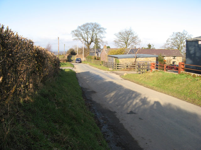
Image: © Jonathan Wilkins Taken: 26 Dec 2008
Passing Pant-y-llidiart the road executes a right-angled turn and heads down into the valley. Farm roads make a cross-road at this point.
Images are licensed for reuse under creativecommons.org/licenses/by-sa/2.0
Image Location
Latitude
52.479677
Longitude
-3.236207