Underside of rail bridge
Introduction
The photograph on this page of Underside of rail bridge by bernard bradley as part of the Geograph project.
The Geograph project started in 2005 with the aim of publishing, organising and preserving representative images for every square kilometre of Great Britain, Ireland and the Isle of Man.

There are currently over 7.5m images from over 14,400 individuals and you can help contribute to the project by visiting https://www.geograph.org.uk
Underside of rail bridge
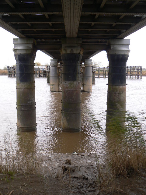
Image: © bernard bradley Taken: 11 Nov 2008
View eastward underneath the rail bridge over the River Ouse between Goole and Hook.
Images are licensed for reuse under creativecommons.org/licenses/by-sa/2.0
Image Location
Latitude
53.713307
Longitude
-0.842988