Pedmore Road, Woodside
Introduction
The photograph on this page of Pedmore Road, Woodside by Brian Clift as part of the Geograph project.
The Geograph project started in 2005 with the aim of publishing, organising and preserving representative images for every square kilometre of Great Britain, Ireland and the Isle of Man.

There are currently over 7.5m images from over 14,400 individuals and you can help contribute to the project by visiting https://www.geograph.org.uk
Pedmore Road, Woodside
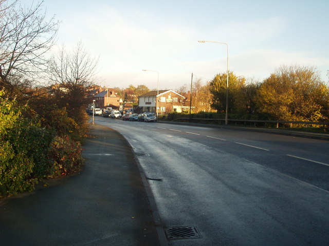
Image: © Brian Clift Taken: 19 Nov 2006
This is a bridge over the railway and was previously known as "Station Bridge". Situated where Pedmore Road becomes Highgate Road and is near the junction with the now disused part of Blackbrook Road.
Images are licensed for reuse under creativecommons.org/licenses/by-sa/2.0
Image Location
Latitude
52.494811
Longitude
-2.106005