Whitcliffe Common
Introduction
The photograph on this page of Whitcliffe Common by Richard Webb as part of the Geograph project.
The Geograph project started in 2005 with the aim of publishing, organising and preserving representative images for every square kilometre of Great Britain, Ireland and the Isle of Man.

There are currently over 7.5m images from over 14,400 individuals and you can help contribute to the project by visiting https://www.geograph.org.uk
Whitcliffe Common
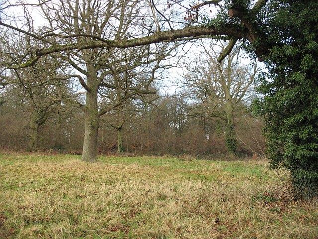
Image: © Richard Webb Taken: 27 Dec 2008
Mature oakwood on the plateau above the limestone crags of Whitcliffe. Combined with Ludlow's streets, this would be a wonderful sprint orienteering venue. -- Since submission, Ludlow and Whitcliffe have become a regular venue for orienteering races.
Images are licensed for reuse under creativecommons.org/licenses/by-sa/2.0
Image Location
Latitude
52.362369
Longitude
-2.72481