View to the north of Townstal
Introduction
The photograph on this page of View to the north of Townstal by Wendy North as part of the Geograph project.
The Geograph project started in 2005 with the aim of publishing, organising and preserving representative images for every square kilometre of Great Britain, Ireland and the Isle of Man.

There are currently over 7.5m images from over 14,400 individuals and you can help contribute to the project by visiting https://www.geograph.org.uk
View to the north of Townstal
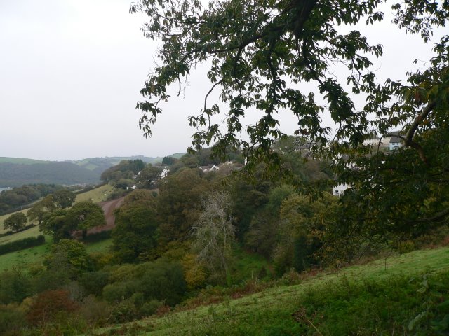
Image: © Wendy North Taken: 13 Oct 2007
At this point in our walk we are leaving the village of Townstal. From here the narrow country lane descends steeply downhill to Old Mill. To our right (NE) we look over rolling hillside towards the Dart estuary. The outlying houses of the village are visible among the trees.
Images are licensed for reuse under creativecommons.org/licenses/by-sa/2.0
Image Location


Leaflet Map data © OpenStreetMap
Latitude
50.354276
Longitude
-3.593999