Winterborne Came: pond on the South Winterborne
Introduction
The photograph on this page of Winterborne Came: pond on the South Winterborne by Chris Downer as part of the Geograph project.
The Geograph project started in 2005 with the aim of publishing, organising and preserving representative images for every square kilometre of Great Britain, Ireland and the Isle of Man.

There are currently over 7.5m images from over 14,400 individuals and you can help contribute to the project by visiting https://www.geograph.org.uk
Winterborne Came: pond on the South Winterborne
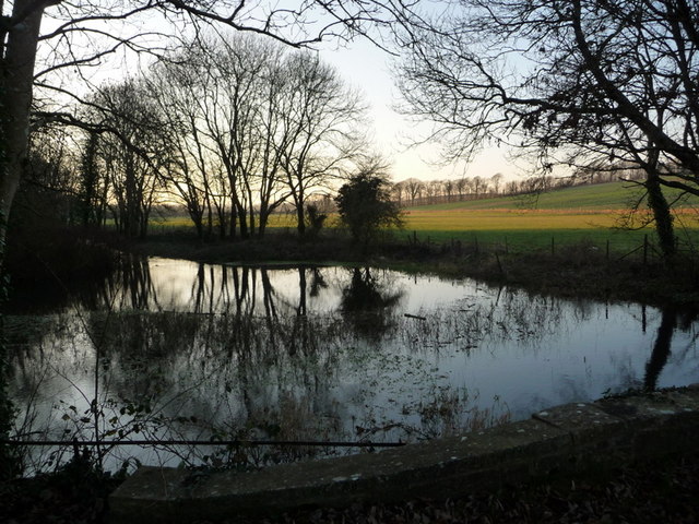
Image: © Chris Downer Taken: 27 Dec 2008
The river South Winterborne, which gives its name to this and half a dozen other parishes, widens here to form a picturesque pond.
Images are licensed for reuse under creativecommons.org/licenses/by-sa/2.0
Image Location


Leaflet Map data © OpenStreetMap
Latitude
50.695756
Longitude
-2.417762