Former Drill Hall, Westham
Introduction
The photograph on this page of Former Drill Hall, Westham by Simon Carey as part of the Geograph project.
The Geograph project started in 2005 with the aim of publishing, organising and preserving representative images for every square kilometre of Great Britain, Ireland and the Isle of Man.

There are currently over 7.5m images from over 14,400 individuals and you can help contribute to the project by visiting https://www.geograph.org.uk
Former Drill Hall, Westham
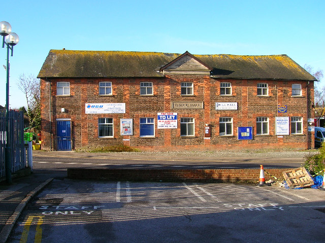
Image: © Simon Carey Taken: 21 Jan 2006
Next to Westham station and first building north of the level crossing. Now home to small businesses. This view looks west from Westham station forecourt.
Images are licensed for reuse under creativecommons.org/licenses/by-sa/2.0
Image Location
Latitude
50.815117
Longitude
0.322389