Disused Walled Garden at Woldringfold
Introduction
The photograph on this page of Disused Walled Garden at Woldringfold by Dave Spicer as part of the Geograph project.
The Geograph project started in 2005 with the aim of publishing, organising and preserving representative images for every square kilometre of Great Britain, Ireland and the Isle of Man.

There are currently over 7.5m images from over 14,400 individuals and you can help contribute to the project by visiting https://www.geograph.org.uk
Disused Walled Garden at Woldringfold
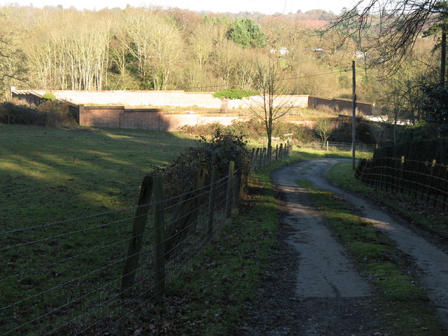
Image: © Dave Spicer Taken: 26 Dec 2008
Must have looked impressive in its day
Images are licensed for reuse under creativecommons.org/licenses/by-sa/2.0
Image Location
Latitude
51.010522
Longitude
-0.278441