Old railway route
Introduction
The photograph on this page of Old railway route by Ian Capper as part of the Geograph project.
The Geograph project started in 2005 with the aim of publishing, organising and preserving representative images for every square kilometre of Great Britain, Ireland and the Isle of Man.

There are currently over 7.5m images from over 14,400 individuals and you can help contribute to the project by visiting https://www.geograph.org.uk
Old railway route
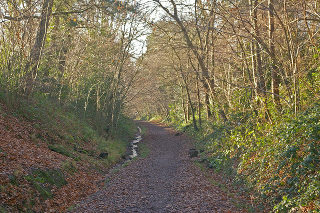
Image: © Ian Capper Taken: 27 Dec 2008
The cutting of the former Three Bridges to East Grinstead railway, opened in 1855 and closed in the 1960s. The trackbed here forms part of the Worth Way cycle/footpath, which is part of National Cycle Network route 21, towards Three Bridges.
Images are licensed for reuse under creativecommons.org/licenses/by-sa/2.0
Image Location
Latitude
51.113225
Longitude
-0.147458