Manmade barrier
Introduction
The photograph on this page of Manmade barrier by HENRY CLARK as part of the Geograph project.
The Geograph project started in 2005 with the aim of publishing, organising and preserving representative images for every square kilometre of Great Britain, Ireland and the Isle of Man.

There are currently over 7.5m images from over 14,400 individuals and you can help contribute to the project by visiting https://www.geograph.org.uk
Manmade barrier
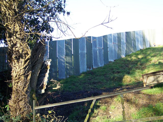
Image: © HENRY CLARK Taken: 27 Dec 2008
Close to the stone bridge at the Drone Hill Road, Tullyconnaught near the Corbet. Looks like its to stop walkers on the land.
Images are licensed for reuse under creativecommons.org/licenses/by-sa/2.0
Image Location
Latitude
54.339086
Longitude
-6.204791