The Ridings taken from the beginning of Harvest Drive, March 2006
Introduction
The photograph on this page of The Ridings taken from the beginning of Harvest Drive, March 2006 by Maureen Taylor as part of the Geograph project.
The Geograph project started in 2005 with the aim of publishing, organising and preserving representative images for every square kilometre of Great Britain, Ireland and the Isle of Man.

There are currently over 7.5m images from over 14,400 individuals and you can help contribute to the project by visiting https://www.geograph.org.uk
The Ridings taken from the beginning of Harvest Drive, March 2006
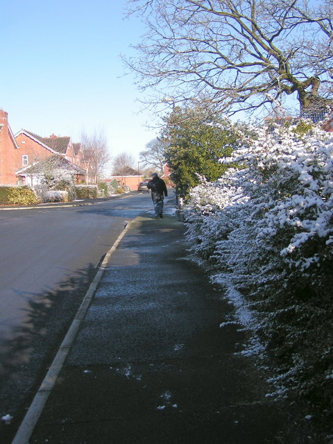
Image: © Maureen Taylor Taken: 4 Mar 2006
The road looks longer in the picture than it is. The Ridings appears on maps, but Harvest Drive was built later and doesn't always show; it's a lot of little cul-de-sacs off a longish winding cul-de-sac.
Images are licensed for reuse under creativecommons.org/licenses/by-sa/2.0
Image Location
Latitude
53.681961
Longitude
-2.637361