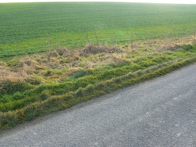
Two degrees west facing south, near Gore Cross
Introduction
The photograph on this page of Two degrees west facing south, near Gore Cross by Brian Robert Marshall as part of the Geograph project.
The Geograph project started in 2005 with the aim of publishing, organising and preserving representative images for every square kilometre of Great Britain, Ireland and the Isle of Man.
There are currently over 7.5m images from over 14,400 individuals and you can help contribute to the project by visiting https://www.geograph.org.uk

Image: © Brian Robert Marshall Taken: 27 Dec 2008
The viewpoint is on the one line in the UK where the north-south gridline as determined by the OSGB36 (Ordnance Survey of Great Britain) system coincides with a line of longitude from the WGS84. I was standing at SU0000050182 according to my GPS unit which equates to 51°15'02.7"N 2°00'05.0"W on the WGS84 grid. I'm not sure what 'WGS' stands for but you can read about it here http://www.ordnancesurvey.co.uk/oswebsite/gps/information/coordinatesystemsinfo/guidecontents/guide1.html Returning to the image, the dead weeds in the verge are on or close to the 2° west line of longitude. Everything to the right of the line from the top centre of the image to the bottom centre is in myriad ST. The rest is in SU, where I was.

