The Lookout
Introduction
The photograph on this page of The Lookout by Simon Carey as part of the Geograph project.
The Geograph project started in 2005 with the aim of publishing, organising and preserving representative images for every square kilometre of Great Britain, Ireland and the Isle of Man.

There are currently over 7.5m images from over 14,400 individuals and you can help contribute to the project by visiting https://www.geograph.org.uk
The Lookout
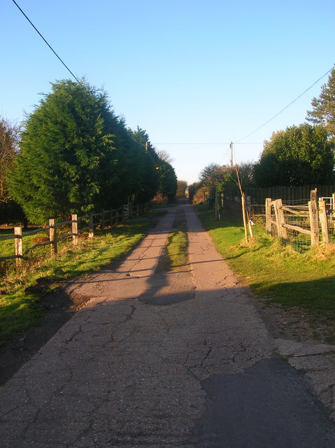
Image: © Simon Carey Taken: 26 Dec 2008
Taken from outside Bullock Down Reservoir looking towards the junction with Roderick Avenue the main access route for this road.
Images are licensed for reuse under creativecommons.org/licenses/by-sa/2.0
Image Location
Latitude
50.811198
Longitude
0.005214