Flood Meadows, Alton, general view
Introduction
The photograph on this page of Flood Meadows, Alton, general view by Steve Millar as part of the Geograph project.
The Geograph project started in 2005 with the aim of publishing, organising and preserving representative images for every square kilometre of Great Britain, Ireland and the Isle of Man.

There are currently over 7.5m images from over 14,400 individuals and you can help contribute to the project by visiting https://www.geograph.org.uk
Flood Meadows, Alton, general view
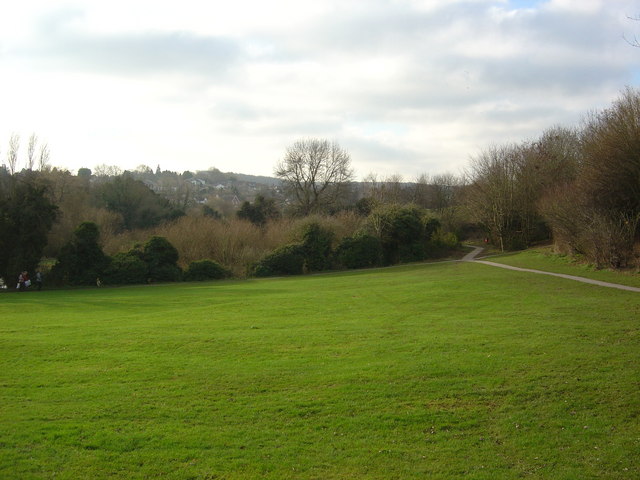
Image: © Steve Millar Taken: 27 Dec 2008
Flood Meadows in Alton is an area of open space within the town, providing a range of habitats with different methods of management. This is a general view across the eastern part showing open grassland and the scrubby wetland in the bottom of the valley of the River Wey.
Images are licensed for reuse under creativecommons.org/licenses/by-sa/2.0
Image Location
Latitude
51.147655
Longitude
-0.984909