South Downs from the River Ouse
Introduction
The photograph on this page of South Downs from the River Ouse by Simon Carey as part of the Geograph project.
The Geograph project started in 2005 with the aim of publishing, organising and preserving representative images for every square kilometre of Great Britain, Ireland and the Isle of Man.

There are currently over 7.5m images from over 14,400 individuals and you can help contribute to the project by visiting https://www.geograph.org.uk
South Downs from the River Ouse
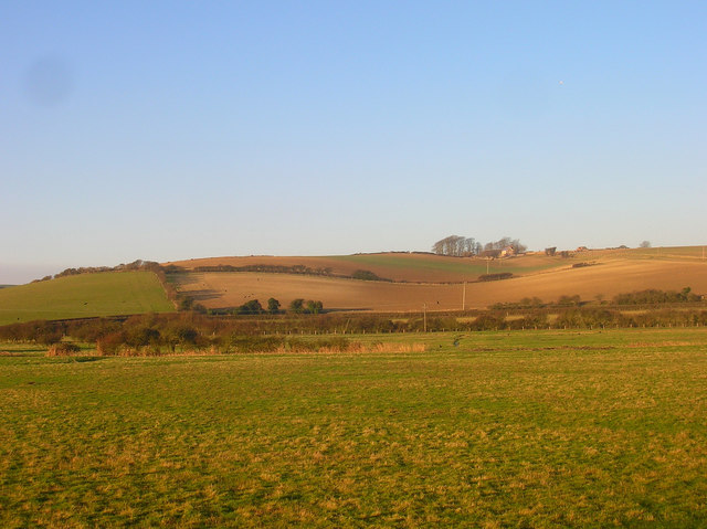
Image: © Simon Carey Taken: 26 Dec 2008
Looking across the flood plain to the western side of the valley. The buildings to the right on the hill are Hill Farm Cottages and Hill Buildings.
Images are licensed for reuse under creativecommons.org/licenses/by-sa/2.0
Image Location
Latitude
50.820087
Longitude
0.016527