St Bartholomew's Church, Lostwithiel
Introduction
The photograph on this page of St Bartholomew's Church, Lostwithiel by Tony Atkin as part of the Geograph project.
The Geograph project started in 2005 with the aim of publishing, organising and preserving representative images for every square kilometre of Great Britain, Ireland and the Isle of Man.

There are currently over 7.5m images from over 14,400 individuals and you can help contribute to the project by visiting https://www.geograph.org.uk
St Bartholomew's Church, Lostwithiel
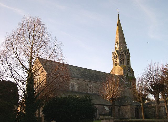
Image: © Tony Atkin Taken: 21 Jan 2006
This large church with its distinctive octagonal tower dates from the 13th and 14th centuries.
Images are licensed for reuse under creativecommons.org/licenses/by-sa/2.0
Image Location
Latitude
50.406508
Longitude
-4.669588