Pipering Lane Crossing
Introduction
The photograph on this page of Pipering Lane Crossing by Dave Taylor as part of the Geograph project.
The Geograph project started in 2005 with the aim of publishing, organising and preserving representative images for every square kilometre of Great Britain, Ireland and the Isle of Man.

There are currently over 7.5m images from over 14,400 individuals and you can help contribute to the project by visiting https://www.geograph.org.uk
Pipering Lane Crossing
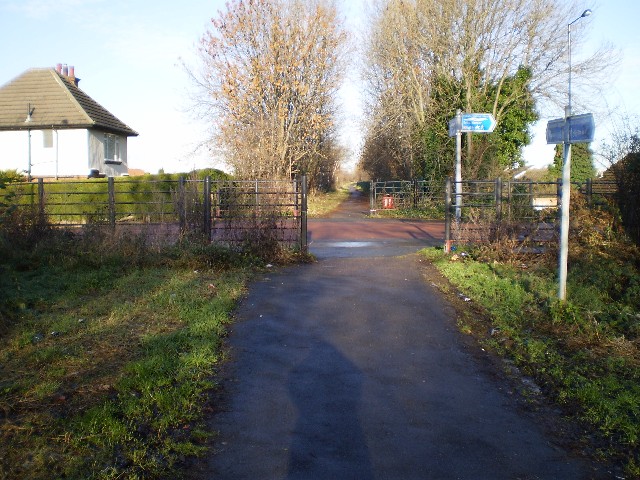
Image: © Dave Taylor Taken: 9 Dec 2008
Point where the Trans Pennine Trail meets Pipering Lane and heads off right towards Bentley. The path straight ahead follows an old railway line and is part of the Doncaster Greenway.
Images are licensed for reuse under creativecommons.org/licenses/by-sa/2.0
Image Location
Latitude
53.543171
Longitude
-1.157302