Upper Lewes Road
Introduction
The photograph on this page of Upper Lewes Road by Simon Carey as part of the Geograph project.
The Geograph project started in 2005 with the aim of publishing, organising and preserving representative images for every square kilometre of Great Britain, Ireland and the Isle of Man.

There are currently over 7.5m images from over 14,400 individuals and you can help contribute to the project by visiting https://www.geograph.org.uk
Upper Lewes Road
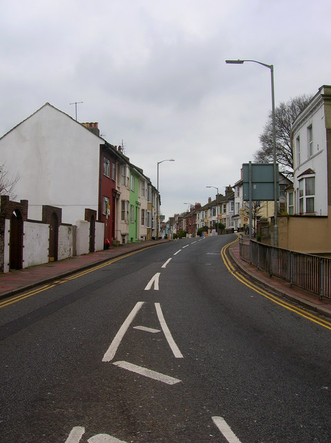
Image: © Simon Carey Taken: 25 Dec 2008
Once the A27 and the major east-west route across Brighton until the construction of the by-pass in the early 1990s. Much of the area was developed in the 1860s and 70s. This is the view from its junction with the Vogue Gyratory.
Images are licensed for reuse under creativecommons.org/licenses/by-sa/2.0
Image Location
Latitude
50.836494
Longitude
-0.12607