Mount Pleasant, Cockfosters
Introduction
The photograph on this page of Mount Pleasant, Cockfosters by Nigel Mykura as part of the Geograph project.
The Geograph project started in 2005 with the aim of publishing, organising and preserving representative images for every square kilometre of Great Britain, Ireland and the Isle of Man.

There are currently over 7.5m images from over 14,400 individuals and you can help contribute to the project by visiting https://www.geograph.org.uk
Mount Pleasant, Cockfosters
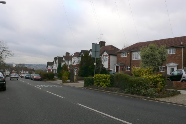
Image: © Nigel Mykura Taken: 22 Dec 2008
View W down Mount Pleasant from just east of the junction with Belmont Avenue
Images are licensed for reuse under creativecommons.org/licenses/by-sa/2.0
Image Location
Latitude
51.649611
Longitude
-0.153152