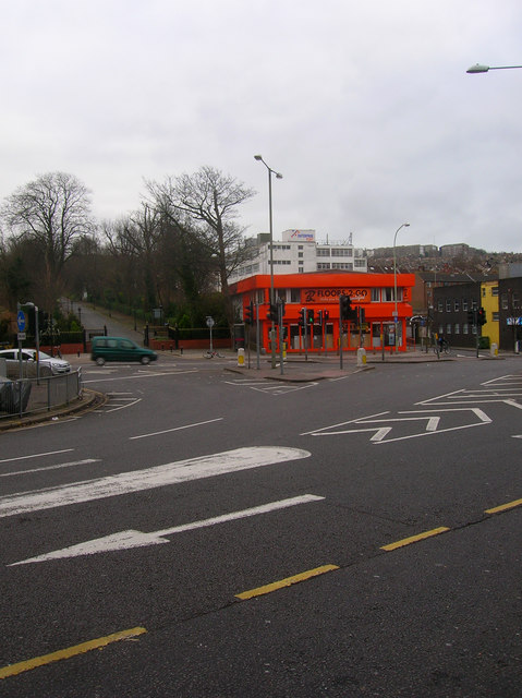
Vogue Gyratory
Introduction
The photograph on this page of Vogue Gyratory by Simon Carey as part of the Geograph project.
The Geograph project started in 2005 with the aim of publishing, organising and preserving representative images for every square kilometre of Great Britain, Ireland and the Isle of Man.
There are currently over 7.5m images from over 14,400 individuals and you can help contribute to the project by visiting https://www.geograph.org.uk

Image: © Simon Carey Taken: 25 Dec 2008
This is the part of the one way system drivers dislike, traffic coming from the east wishing to turn up Hollingdean Road or into Sainsbury's come from the left then have to cross three lanes to get to the left hand side. Simultaneously, traffic coming from Upper Lewes Road out of shot to the right wanting to travel on to Lewes also have to cross lanes to the middle whilst those wishing to head to Brighton have to cross to the far right lane. Needless to say the traffic lights have tendency to let both these routes go at the same time. The one way system was constructed in 1984 along with Sainsbury's on the site of Cox's pill factory, the Lewes Road viaduct and the former Vogue Cinema whence the system gets its name. This view follows the course of the old viaduct which would have followed the road then through the orange building on the far side before heading south east. The drive to the left is an entrance to Brighton Borough cemetery.

