The former Caer Glyddyn Farmhouse viewed across the Garden Centre
Introduction
The photograph on this page of The former Caer Glyddyn Farmhouse viewed across the Garden Centre by Eric Jones as part of the Geograph project.
The Geograph project started in 2005 with the aim of publishing, organising and preserving representative images for every square kilometre of Great Britain, Ireland and the Isle of Man.

There are currently over 7.5m images from over 14,400 individuals and you can help contribute to the project by visiting https://www.geograph.org.uk
The former Caer Glyddyn Farmhouse viewed across the Garden Centre
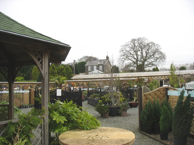
Image: © Eric Jones Taken: 23 Dec 2008
Older folk still refer to the Seiont Nurseries as Caer Glyddyn.
Images are licensed for reuse under creativecommons.org/licenses/by-sa/2.0
Image Location


Leaflet Map data © OpenStreetMap
Latitude
53.141696
Longitude
-4.235349