Field east of Llanfihangel y Creuddyn
Introduction
The photograph on this page of Field east of Llanfihangel y Creuddyn by Nigel Brown as part of the Geograph project.
The Geograph project started in 2005 with the aim of publishing, organising and preserving representative images for every square kilometre of Great Britain, Ireland and the Isle of Man.

There are currently over 7.5m images from over 14,400 individuals and you can help contribute to the project by visiting https://www.geograph.org.uk
Field east of Llanfihangel y Creuddyn
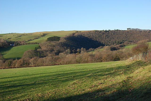
Image: © Nigel Brown Taken: 26 Dec 2008
Just below the lane to Allt-fedw farm. The deciduous woodland in the distance is a haven of wildlife.
Images are licensed for reuse under creativecommons.org/licenses/by-sa/2.0
Image Location


Leaflet Map data © OpenStreetMap
Latitude
52.369048
Longitude
-3.946983