Springbourne: former NatWest
Introduction
The photograph on this page of Springbourne: former NatWest by Chris Downer as part of the Geograph project.
The Geograph project started in 2005 with the aim of publishing, organising and preserving representative images for every square kilometre of Great Britain, Ireland and the Isle of Man.

There are currently over 7.5m images from over 14,400 individuals and you can help contribute to the project by visiting https://www.geograph.org.uk
Springbourne: former NatWest
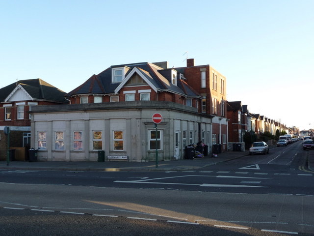
Image: © Chris Downer Taken: 26 Dec 2008
This was a bank for many, many years – originally the National Provincial, which wording can still be made out in the screw-hole marks, and later the National Westminster. It closed probably about 20 years ago.
Images are licensed for reuse under creativecommons.org/licenses/by-sa/2.0
Image Location
Latitude
50.733547
Longitude
-1.848331