Boscombe: Roumelia Lane
Introduction
The photograph on this page of Boscombe: Roumelia Lane by Chris Downer as part of the Geograph project.
The Geograph project started in 2005 with the aim of publishing, organising and preserving representative images for every square kilometre of Great Britain, Ireland and the Isle of Man.

There are currently over 7.5m images from over 14,400 individuals and you can help contribute to the project by visiting https://www.geograph.org.uk
Boscombe: Roumelia Lane
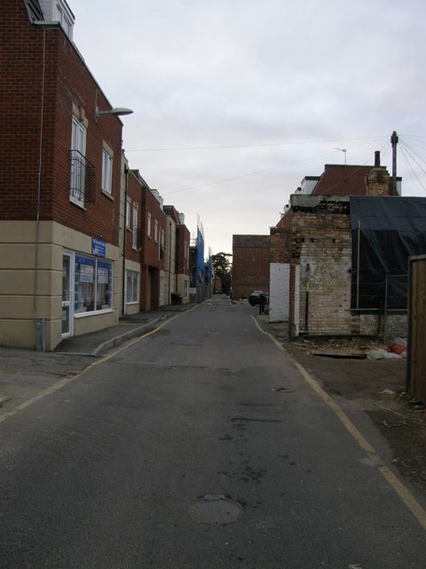
Image: © Chris Downer Taken: 25 Dec 2008
This lane is really just a service road at the back of the shops on the main Christchurch Road. It does, however, have a few postal delivery addresses now that little places such as those on the left are springing up.
Images are licensed for reuse under creativecommons.org/licenses/by-sa/2.0
Image Location
Latitude
50.725534
Longitude
-1.841415