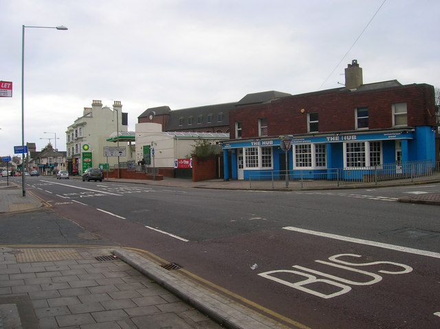
The Hub, Lewes Road
Introduction
The photograph on this page of The Hub, Lewes Road by Simon Carey as part of the Geograph project.
The Geograph project started in 2005 with the aim of publishing, organising and preserving representative images for every square kilometre of Great Britain, Ireland and the Isle of Man.
There are currently over 7.5m images from over 14,400 individuals and you can help contribute to the project by visiting https://www.geograph.org.uk

Image: © Simon Carey Taken: 25 Dec 2008
On the Vogue Gyratory one way system at the point where Lewes Road meets Bear Road and Hollingdean Road. Formerly known as the Allen Arms and Counting House the pub was next door to the cinema from which the road system takes its name, opening as the Gaeity in 1937 before becoming the Ace in 1965, the Vogue in 1971 and the Classic in 1979. It closed in 1980 and was demolished in 1983 with much of its former auditorium replaced by the petrol station's building and the one way system. Much of the rest of the filling station occupies the site of the former Lewes Road viaduct which carried the Kemp Town branch over the road from 1869-1971, the part crossing Lewes Road was demolished in 1975 and the rest went in 1983 when Sainsbury's (Behind the buildings in view) and the one way system was built. The name came from the cinema's pornographic era.

