River Severn east of Newtown
Introduction
The photograph on this page of River Severn east of Newtown by Penny Mayes as part of the Geograph project.
The Geograph project started in 2005 with the aim of publishing, organising and preserving representative images for every square kilometre of Great Britain, Ireland and the Isle of Man.

There are currently over 7.5m images from over 14,400 individuals and you can help contribute to the project by visiting https://www.geograph.org.uk
River Severn east of Newtown
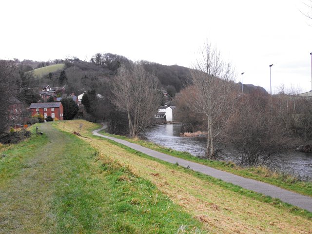
Image: © Penny Mayes Taken: 25 Dec 2008
Taken from the course of the Montgomery Canal (now filled in and raised as flood defences) beside Cymric Mill http://www.geograph.org.uk/photo/1091061 , looking down the river towards the Pump House http://www.geograph.org.uk/photo/1090978 in Image
Images are licensed for reuse under creativecommons.org/licenses/by-sa/2.0
Image Location
Latitude
52.518598
Longitude
-3.303915