Allotments near Totteridge
Introduction
The photograph on this page of Allotments near Totteridge by Nigel Mykura as part of the Geograph project.
The Geograph project started in 2005 with the aim of publishing, organising and preserving representative images for every square kilometre of Great Britain, Ireland and the Isle of Man.

There are currently over 7.5m images from over 14,400 individuals and you can help contribute to the project by visiting https://www.geograph.org.uk
Allotments near Totteridge
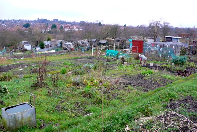
Image: © Nigel Mykura Taken: 22 Dec 2008
These allotments are at the northern end of Holden Rd close to the road bridge over the Northern line. The small stream of Dollis Brook runs through the allotments.
Images are licensed for reuse under creativecommons.org/licenses/by-sa/2.0
Image Location
Latitude
51.624452
Longitude
-0.183212