The Minden Rose public house, Bury St. Edmunds
Introduction
The photograph on this page of The Minden Rose public house, Bury St. Edmunds by John Goldsmith as part of the Geograph project.
The Geograph project started in 2005 with the aim of publishing, organising and preserving representative images for every square kilometre of Great Britain, Ireland and the Isle of Man.

There are currently over 7.5m images from over 14,400 individuals and you can help contribute to the project by visiting https://www.geograph.org.uk
The Minden Rose public house, Bury St. Edmunds
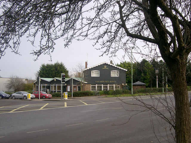
Image: © John Goldsmith Taken: 19 Dec 2008
The public house is viewed across the Newmarket Road/Western Way junction. It is named after the Battle of Minden - for details see http://www.britishbattles.com/seven-years/minden.htm
Images are licensed for reuse under creativecommons.org/licenses/by-sa/2.0
Image Location
Latitude
52.250356
Longitude
0.689216