St Eleth's Churchyard
Introduction
The photograph on this page of St Eleth's Churchyard by Eric Jones as part of the Geograph project.
The Geograph project started in 2005 with the aim of publishing, organising and preserving representative images for every square kilometre of Great Britain, Ireland and the Isle of Man.

There are currently over 7.5m images from over 14,400 individuals and you can help contribute to the project by visiting https://www.geograph.org.uk
St Eleth's Churchyard
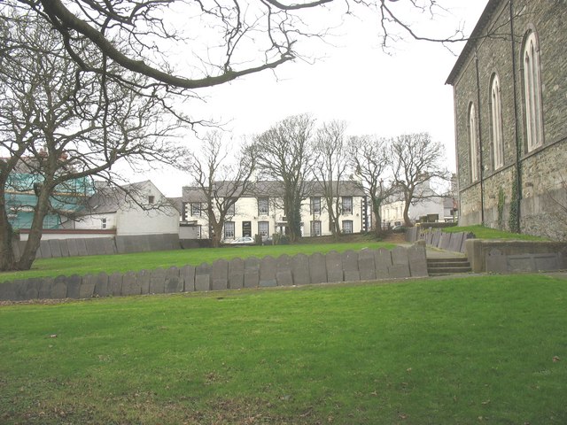
Image: © Eric Jones Taken: 11 Dec 2008
The gravestones have all been removed from the graves and lined up around the sides. The cream-coloured building in the background is the Dinorben Arms.
Images are licensed for reuse under creativecommons.org/licenses/by-sa/2.0
Image Location
Latitude
53.409941
Longitude
-4.345093