Springfield Road, Wolverhampton
Introduction
The photograph on this page of Springfield Road, Wolverhampton by Roger D Kidd as part of the Geograph project.
The Geograph project started in 2005 with the aim of publishing, organising and preserving representative images for every square kilometre of Great Britain, Ireland and the Isle of Man.

There are currently over 7.5m images from over 14,400 individuals and you can help contribute to the project by visiting https://www.geograph.org.uk
Springfield Road, Wolverhampton
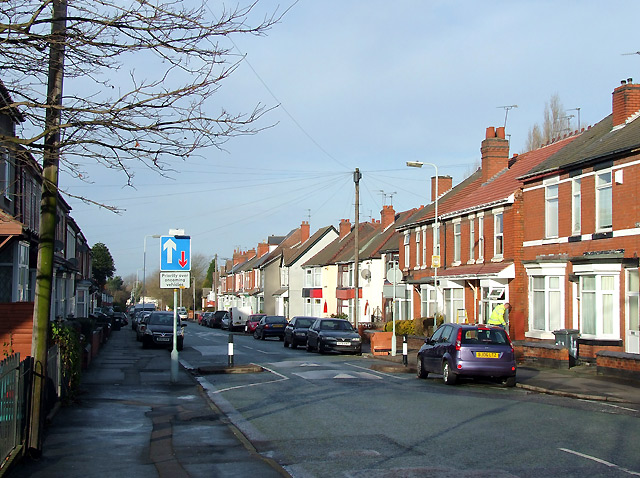
Image: © Roger D Kidd Taken: 17 Dec 2008
Early 20th century housing on a road linking the Brownhills (A4124) and Cannock (A460) roads. The usual tampering has been done to the road and its width to (supposedly) make the roads safer for everybody.
Images are licensed for reuse under creativecommons.org/licenses/by-sa/2.0
Image Location
Latitude
52.591624
Longitude
-2.113915