Saxon Shore Way beside Swale Marina
Introduction
The photograph on this page of Saxon Shore Way beside Swale Marina by David Anstiss as part of the Geograph project.
The Geograph project started in 2005 with the aim of publishing, organising and preserving representative images for every square kilometre of Great Britain, Ireland and the Isle of Man.

There are currently over 7.5m images from over 14,400 individuals and you can help contribute to the project by visiting https://www.geograph.org.uk
Saxon Shore Way beside Swale Marina
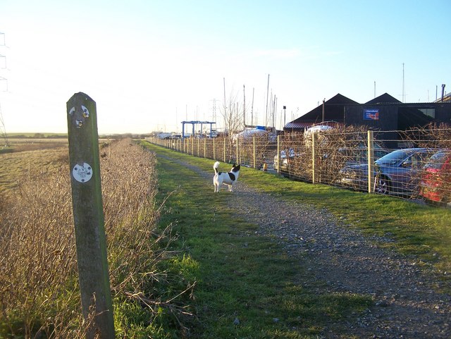
Image: © David Anstiss Taken: 17 Dec 2008
Also used by a National Cyclepath route 1 from Teynham to Sittingbourne. The Saxon Shore Way goes along The Swale towards Sittingbourne via the longer coastal route.
Images are licensed for reuse under creativecommons.org/licenses/by-sa/2.0
Image Location
Latitude
51.346389
Longitude
0.813735