Barton on Sea, path closure
Introduction
The photograph on this page of Barton on Sea, path closure by Mike Faherty as part of the Geograph project.
The Geograph project started in 2005 with the aim of publishing, organising and preserving representative images for every square kilometre of Great Britain, Ireland and the Isle of Man.

There are currently over 7.5m images from over 14,400 individuals and you can help contribute to the project by visiting https://www.geograph.org.uk
Barton on Sea, path closure
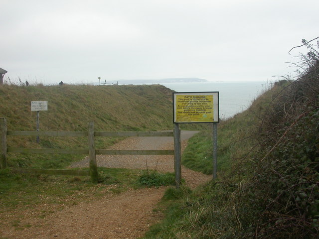
Image: © Mike Faherty Taken: 22 Dec 2008
Sign warning that the path in front is closed because of the danger of cliff erosion. Local dog walkers seem content to ignore it, as it's been happening for centuries. For a detailed explanation, see http://www.soton.ac.uk/~imw/Barton-Erosion-History.htm
Images are licensed for reuse under creativecommons.org/licenses/by-sa/2.0
Image Location
Latitude
50.736633
Longitude
-1.670465