Barton on Sea, shelter
Introduction
The photograph on this page of Barton on Sea, shelter by Mike Faherty as part of the Geograph project.
The Geograph project started in 2005 with the aim of publishing, organising and preserving representative images for every square kilometre of Great Britain, Ireland and the Isle of Man.

There are currently over 7.5m images from over 14,400 individuals and you can help contribute to the project by visiting https://www.geograph.org.uk
Barton on Sea, shelter
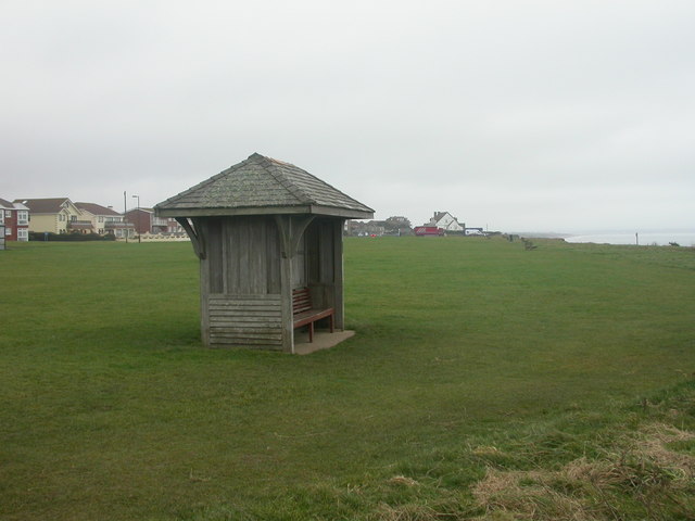
Image: © Mike Faherty Taken: 22 Dec 2008
Rather forlorn looking shelter on the grass between Marine Drive & the cliff edge. For how much longer will it be there? The cliff top is eroding steadily. For a comprehensive account, see Ian West's website http://www.soton.ac.uk/~imw/Barton-Erosion-History.htm
Images are licensed for reuse under creativecommons.org/licenses/by-sa/2.0
Image Location
Latitude
50.736542
Longitude
-1.669983