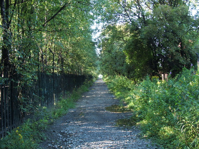
Footpath to shore
Introduction
The photograph on this page of Footpath to shore by Lairich Rig as part of the Geograph project.
The Geograph project started in 2005 with the aim of publishing, organising and preserving representative images for every square kilometre of Great Britain, Ireland and the Isle of Man.
There are currently over 7.5m images from over 14,400 individuals and you can help contribute to the project by visiting https://www.geograph.org.uk

Image: © Lairich Rig Taken: 22 Aug 2008
See Image The path is perhaps called Dog's Loan; Dog's Loan Pumping Station is at its southern end. Hunter's Burn rises at a well which is located at the south-western side of the base of Dumbowie Hill (Image); although diverted beneath nearby areas of housing, the burn reappears above ground near this point, and follows the side of this footpath; at the end of the path, the burn flows underneath a railway underpass (Image) before emerging onto the beach (Image). The OS Object Name Book (1890s), giving authority for the name's appearance on the map, describes the burn as "a small stream on the High Mains of Dumbuck. The name is not generally known, but the proprietor wishes it to be adopted. The name has its origins not from a person's name but [from] the sportsmen or Hunters". On High Mains of Dumbuck, see Image and Image

