2008 : The town of Temple Cloud
Introduction
The photograph on this page of 2008 : The town of Temple Cloud by Maurice Pullin as part of the Geograph project.
The Geograph project started in 2005 with the aim of publishing, organising and preserving representative images for every square kilometre of Great Britain, Ireland and the Isle of Man.

There are currently over 7.5m images from over 14,400 individuals and you can help contribute to the project by visiting https://www.geograph.org.uk
2008 : The town of Temple Cloud
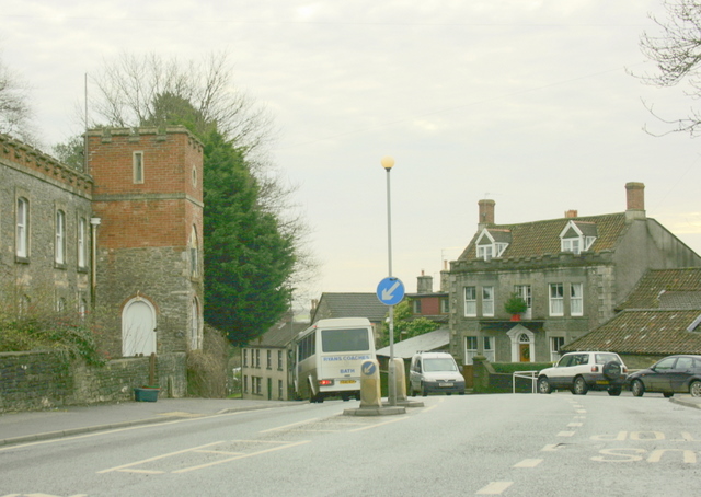
Image: © Maurice Pullin Taken: 19 Dec 2008
Where Cameley Road joins the A37. Do you know the difference between a town and a village? The following was copied from http://www.british-towns.net/en/level_4_display.asp?GetL3=9818 and may clear up a few points. Good one webmaster, an interesting website. "The town of Temple Cloud is an urban area that is larger than a village but smaller than a city. Unless Temple Cloud grows to a size where it is elevated to a higher administrative status it is effectively a parish but to differentiate between the two at the turn of the last century towns were granted the right to allow their elected representatives call themselves a "Town Council" and to, from their number, elect a Mayor. Other than that they have the same legal rights and responsibilities as a Parish Council." There is more. A road (classified A)
Images are licensed for reuse under creativecommons.org/licenses/by-sa/2.0
Image Location
Latitude
51.316886
Longitude
-2.541186