Langholm Community Centre
Introduction
The photograph on this page of Langholm Community Centre by Bill Henderson as part of the Geograph project.
The Geograph project started in 2005 with the aim of publishing, organising and preserving representative images for every square kilometre of Great Britain, Ireland and the Isle of Man.

There are currently over 7.5m images from over 14,400 individuals and you can help contribute to the project by visiting https://www.geograph.org.uk
Langholm Community Centre
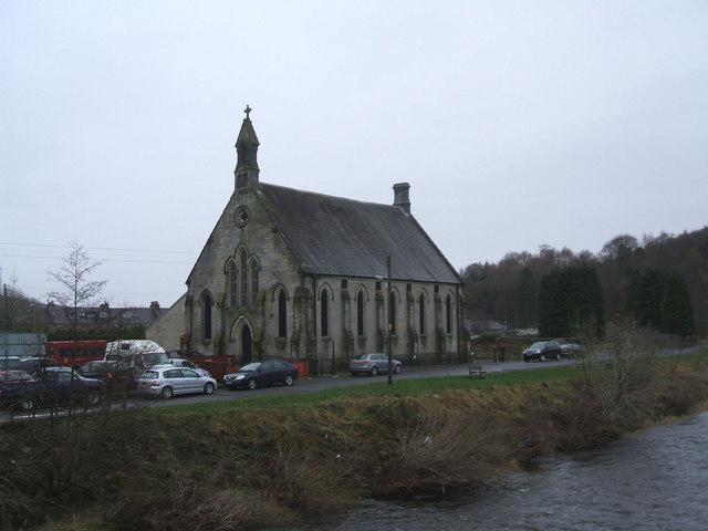
Image: © Bill Henderson Taken: 19 Dec 2008
This building has obviously once been a Church or Chapel. Can anyone say which Church or Chapel it used to be?
Images are licensed for reuse under creativecommons.org/licenses/by-sa/2.0
Image Location


Leaflet Map data © OpenStreetMap
Latitude
55.150716
Longitude
-3.001708