Llwybyr cyhoeddus uwchben Talyllychau / Footpath above Talley
Introduction
The photograph on this page of Llwybyr cyhoeddus uwchben Talyllychau / Footpath above Talley by Ian Medcalf as part of the Geograph project.
The Geograph project started in 2005 with the aim of publishing, organising and preserving representative images for every square kilometre of Great Britain, Ireland and the Isle of Man.

There are currently over 7.5m images from over 14,400 individuals and you can help contribute to the project by visiting https://www.geograph.org.uk
Llwybyr cyhoeddus uwchben Talyllychau / Footpath above Talley
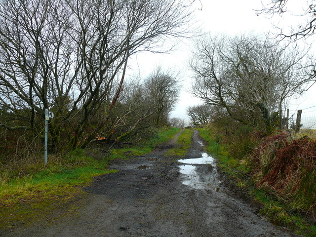
Image: © Ian Medcalf Taken: 20 Dec 2008
Llwybyr sy'n cysylltu dau lon gul rhwng Talyllychau a Blaen y cwm / Footpath that links two narrow lanes between Talley and Blaen y cwm.
Images are licensed for reuse under creativecommons.org/licenses/by-sa/2.0
Image Location
Latitude
51.985005
Longitude
-3.95824