East end of Stokesley High Street
Introduction
The photograph on this page of East end of Stokesley High Street by Gordon Hatton as part of the Geograph project.
The Geograph project started in 2005 with the aim of publishing, organising and preserving representative images for every square kilometre of Great Britain, Ireland and the Isle of Man.

There are currently over 7.5m images from over 14,400 individuals and you can help contribute to the project by visiting https://www.geograph.org.uk
East end of Stokesley High Street
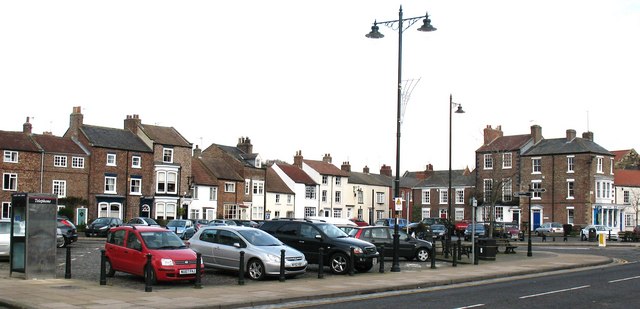
Image: © Gordon Hatton Taken: 21 Dec 2008
The east end of the High Street opens out into a wide expanse known as The Plain [from where the photo was taken] and College Square, which is shown in the photograph.
Images are licensed for reuse under creativecommons.org/licenses/by-sa/2.0
Image Location
Latitude
54.470592
Longitude
-1.190206