Wellington Court
Introduction
The photograph on this page of Wellington Court by N Chadwick as part of the Geograph project.
The Geograph project started in 2005 with the aim of publishing, organising and preserving representative images for every square kilometre of Great Britain, Ireland and the Isle of Man.

There are currently over 7.5m images from over 14,400 individuals and you can help contribute to the project by visiting https://www.geograph.org.uk
Wellington Court
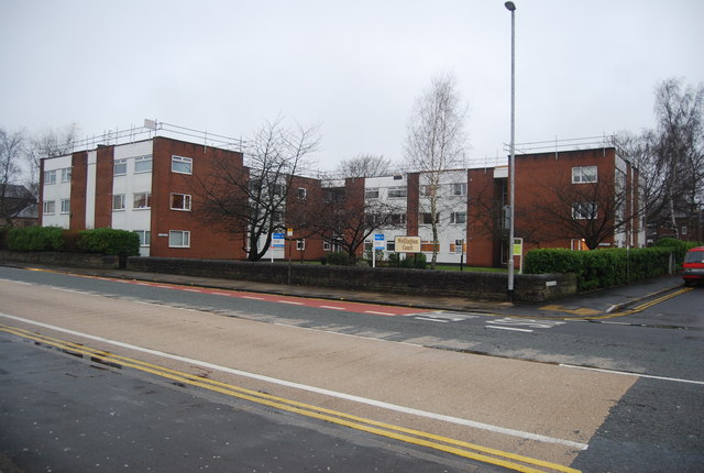
Image: © N Chadwick Taken: 20 Dec 2008
Flats built on an old bowling green at the end of Grange rd. The green belonged o the next door Wellington public house.
Images are licensed for reuse under creativecommons.org/licenses/by-sa/2.0
Image Location
Latitude
53.589395
Longitude
-2.318869