Gentrification of Victorian terraces, Bolton Rd
Introduction
The photograph on this page of Gentrification of Victorian terraces, Bolton Rd by N Chadwick as part of the Geograph project.
The Geograph project started in 2005 with the aim of publishing, organising and preserving representative images for every square kilometre of Great Britain, Ireland and the Isle of Man.

There are currently over 7.5m images from over 14,400 individuals and you can help contribute to the project by visiting https://www.geograph.org.uk
Gentrification of Victorian terraces, Bolton Rd
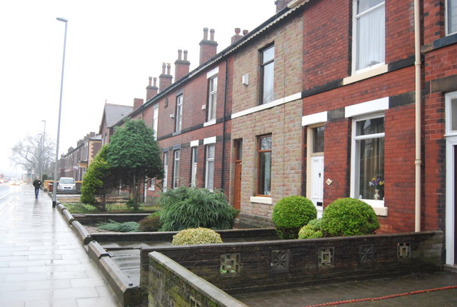
Image: © N Chadwick Taken: 20 Dec 2008
The stone cladding & double glazing are a clear sign of gentrification.
Images are licensed for reuse under creativecommons.org/licenses/by-sa/2.0
Image Location
Latitude
53.590031
Longitude
-2.316306