Chesterfield - Scarsdale Hospital
Introduction
The photograph on this page of Chesterfield - Scarsdale Hospital by Dave Bevis as part of the Geograph project.
The Geograph project started in 2005 with the aim of publishing, organising and preserving representative images for every square kilometre of Great Britain, Ireland and the Isle of Man.

There are currently over 7.5m images from over 14,400 individuals and you can help contribute to the project by visiting https://www.geograph.org.uk
Chesterfield - Scarsdale Hospital
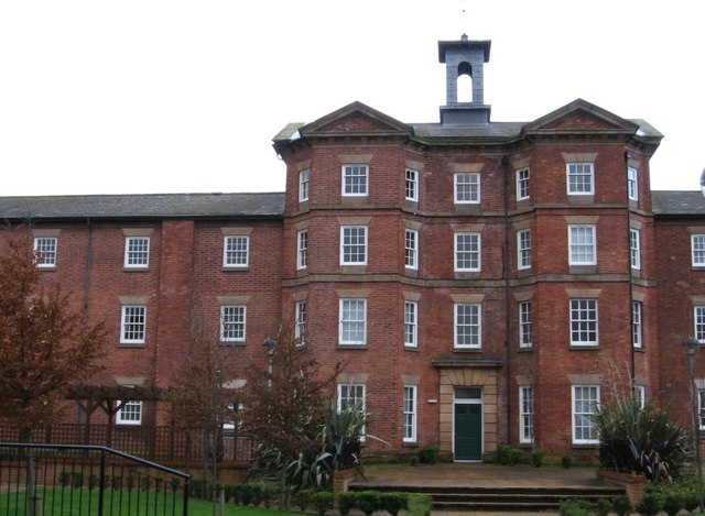
Image: © Dave Bevis Taken: 21 Dec 2008
Now converted into housing and called Trinity Mews. Prior to its use as Scarsdale Hospital, the building was part of Chesterfield Workhouse - see http://www.workhouses.org.uk/Chesterfield/ for more details.
Images are licensed for reuse under creativecommons.org/licenses/by-sa/2.0
Image Location
Latitude
53.239524
Longitude
-1.429838