Bury Snooker Club.
Introduction
The photograph on this page of Bury Snooker Club. by N Chadwick as part of the Geograph project.
The Geograph project started in 2005 with the aim of publishing, organising and preserving representative images for every square kilometre of Great Britain, Ireland and the Isle of Man.

There are currently over 7.5m images from over 14,400 individuals and you can help contribute to the project by visiting https://www.geograph.org.uk
Bury Snooker Club.
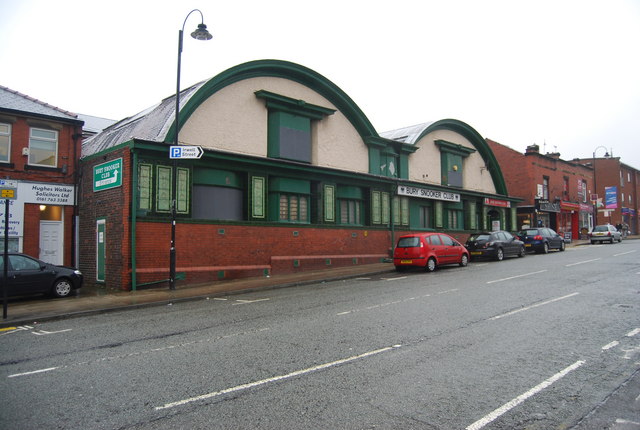
Image: © N Chadwick Taken: 20 Dec 2008
An architecturally interesting building, once a temperance hall!
Images are licensed for reuse under creativecommons.org/licenses/by-sa/2.0
Image Location
Latitude
53.594115
Longitude
-2.301077