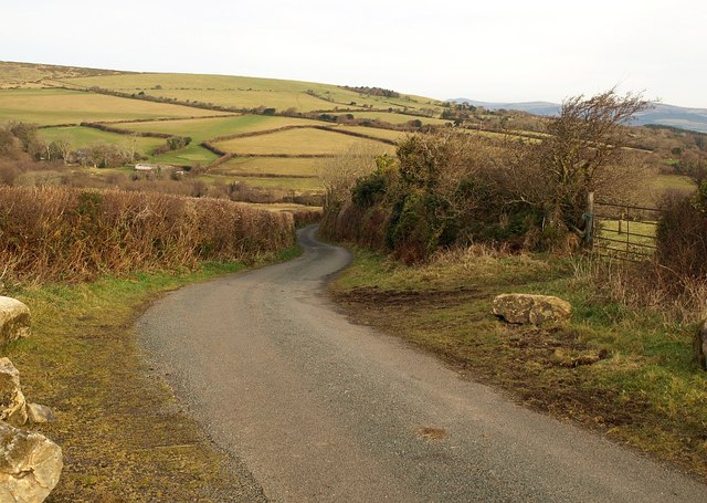
Lane to Gidley Bridge
Introduction
The photograph on this page of Lane to Gidley Bridge by Derek Harper as part of the Geograph project.
The Geograph project started in 2005 with the aim of publishing, organising and preserving representative images for every square kilometre of Great Britain, Ireland and the Isle of Man.
There are currently over 7.5m images from over 14,400 individuals and you can help contribute to the project by visiting https://www.geograph.org.uk

Image: © Derek Harper Taken: 15 Dec 2008
From the highest point on the lane between Image and Image Down in the Harbourne River valley are buildings at Reddacleave. The rocks on the left indicate that either the authorities or local farmers have tired of cars getting bogged down in the adjoining little tongue of open land (doubtless an animal gathering place). From it, South Brent Bridleway 28 heads across fields onto Dartmoor near Dockwell Ridge.

