Redevelopment on the Black Country Route
Introduction
The photograph on this page of Redevelopment on the Black Country Route by John M as part of the Geograph project.
The Geograph project started in 2005 with the aim of publishing, organising and preserving representative images for every square kilometre of Great Britain, Ireland and the Isle of Man.

There are currently over 7.5m images from over 14,400 individuals and you can help contribute to the project by visiting https://www.geograph.org.uk
Redevelopment on the Black Country Route
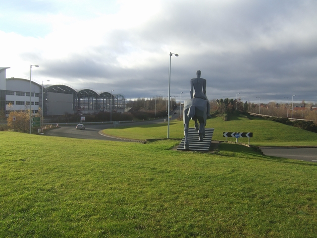
Image: © John M Taken: 21 Dec 2008
This development has appeared over the last few months on a brown field site near Bilston. Image
Images are licensed for reuse under creativecommons.org/licenses/by-sa/2.0
Image Location
Latitude
52.568473
Longitude
-2.054988