River Brent
Introduction
The photograph on this page of River Brent by Martin Addison as part of the Geograph project.
The Geograph project started in 2005 with the aim of publishing, organising and preserving representative images for every square kilometre of Great Britain, Ireland and the Isle of Man.

There are currently over 7.5m images from over 14,400 individuals and you can help contribute to the project by visiting https://www.geograph.org.uk
River Brent
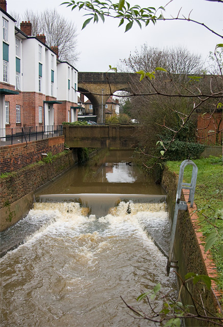
Image: © Martin Addison Taken: 14 Dec 2008
A strong flow over Shirehall Park Weir following a period of continuous heavy rain. The concrete bridge behind probably dates to the construction of the North Circular Road. The houses on the left are part of Clive Lodge. In the background is the viaduct carrying the Northern Line.
Images are licensed for reuse under creativecommons.org/licenses/by-sa/2.0
Image Location


Leaflet Map data © OpenStreetMap
Latitude
51.577942
Longitude
-0.217108