Lower Knowle
Introduction
The photograph on this page of Lower Knowle by Derek Harper as part of the Geograph project.
The Geograph project started in 2005 with the aim of publishing, organising and preserving representative images for every square kilometre of Great Britain, Ireland and the Isle of Man.

There are currently over 7.5m images from over 14,400 individuals and you can help contribute to the project by visiting https://www.geograph.org.uk
Lower Knowle
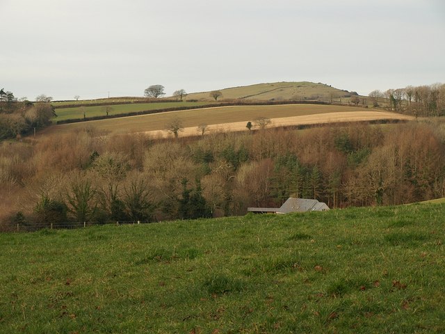
Image: © Derek Harper Taken: 15 Dec 2008
The woodland just beyond the building is on an embankment and hides the A38 Devon Expressway from view. On the horizon is Image Seen from the lane west from Crabbers Cross, which, because of the A38, is a dead-end.
Images are licensed for reuse under creativecommons.org/licenses/by-sa/2.0
Image Location
Latitude
50.438561
Longitude
-3.796803