2008 : North east from Paulton Lane
Introduction
The photograph on this page of 2008 : North east from Paulton Lane by Maurice Pullin as part of the Geograph project.
The Geograph project started in 2005 with the aim of publishing, organising and preserving representative images for every square kilometre of Great Britain, Ireland and the Isle of Man.

There are currently over 7.5m images from over 14,400 individuals and you can help contribute to the project by visiting https://www.geograph.org.uk
2008 : North east from Paulton Lane
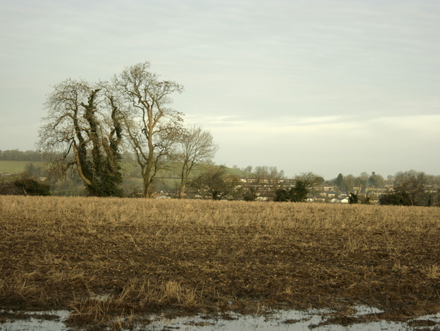
Image: © Maurice Pullin Taken: 19 Dec 2008
Even though this is at the top of a hill the field retains enough rainwater to prevent ploughing. Very frustrating for the farmer.
Images are licensed for reuse under creativecommons.org/licenses/by-sa/2.0
Image Location


Leaflet Map data © OpenStreetMap
Latitude
51.311065
Longitude
-2.4734