Pratling Street
Introduction
The photograph on this page of Pratling Street by Penny Mayes as part of the Geograph project.
The Geograph project started in 2005 with the aim of publishing, organising and preserving representative images for every square kilometre of Great Britain, Ireland and the Isle of Man.

There are currently over 7.5m images from over 14,400 individuals and you can help contribute to the project by visiting https://www.geograph.org.uk
Pratling Street
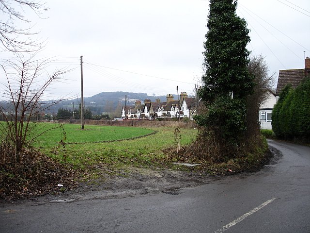
Image: © Penny Mayes Taken: 19 Jan 2006
A small community on the northern fringe of Aylesford, behind the industrial estate. Bluebell Hill is visible in the distance.
Images are licensed for reuse under creativecommons.org/licenses/by-sa/2.0
Image Location
Latitude
51.307058
Longitude
0.497801