Barton Common, looking south-west
Introduction
The photograph on this page of Barton Common, looking south-west by Mike Faherty as part of the Geograph project.
The Geograph project started in 2005 with the aim of publishing, organising and preserving representative images for every square kilometre of Great Britain, Ireland and the Isle of Man.

There are currently over 7.5m images from over 14,400 individuals and you can help contribute to the project by visiting https://www.geograph.org.uk
Barton Common, looking south-west
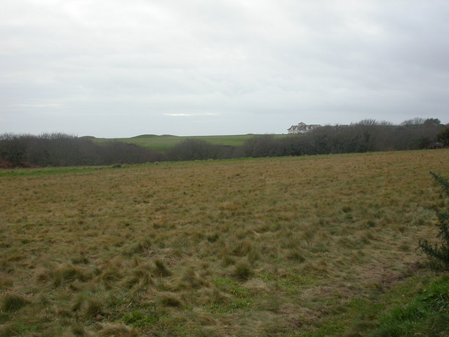
Image: © Mike Faherty Taken: 20 Dec 2008
Barton Common is a wedge of land between housing and a golf club, managed by New Milton Council, and comprising open land (shown here), woodland, and heathland. http://www3.hants.gov.uk/newmiltonbartoncommon.pdf As seen here, looking across the golf course to modern housing on Marine Drive.
Images are licensed for reuse under creativecommons.org/licenses/by-sa/2.0
Image Location
Latitude
50.737692
Longitude
-1.648124