Becton, fingerpost
Introduction
The photograph on this page of Becton, fingerpost by Mike Faherty as part of the Geograph project.
The Geograph project started in 2005 with the aim of publishing, organising and preserving representative images for every square kilometre of Great Britain, Ireland and the Isle of Man.

There are currently over 7.5m images from over 14,400 individuals and you can help contribute to the project by visiting https://www.geograph.org.uk
Becton, fingerpost
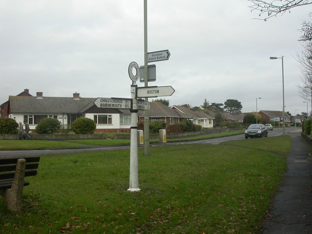
Image: © Mike Faherty Taken: 20 Dec 2008
In 1964, the Ministry of Transport instructed local authorities to remove signposts using local patterns, and replace them with a standardised pattern. Hampshire County Council often ignored this instruction, and so old tapering pillars with a ring finial giving county name and location still exist. This example, at the junction of Lymington Road & Becton Lane, is well-maintained.
Images are licensed for reuse under creativecommons.org/licenses/by-sa/2.0
Image Location
Latitude
50.746258
Longitude
-1.652822